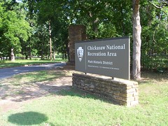
Chickasaw National Recreation Area
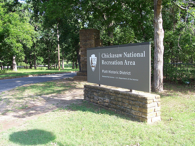
Chickasaw National Recreation Area
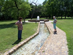
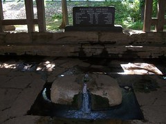
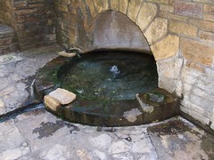
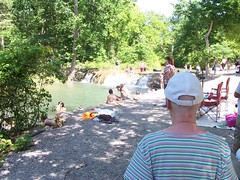
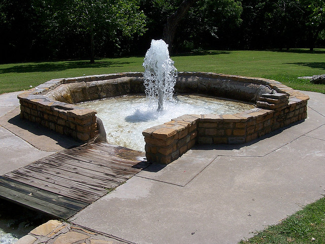
The "Peaceful Valley of Rippling Waters" appropriately describes Chickasaw National Recreation Area, known for its many mineral springs, cool water, flora, fauna, and wildlife. Here one's mind may wander back in time to when the early American Indian came to this area to rest, relax at the water's edge, and hunt for their food from the abundant wildlife.*
Location
Directions
State Highway 177 south of Sulphur, Oklahoma
Regions
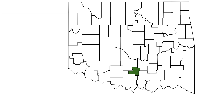 Murray County
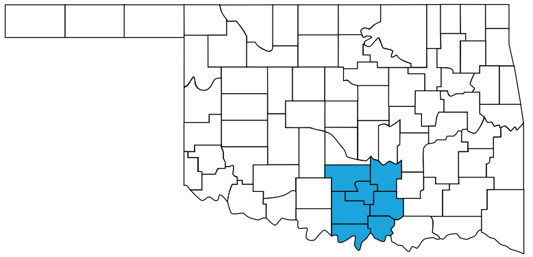 Chickasaw Country
 Oklahoma
Maps
- 34.50639305892795, -96.9730943441391
- OpenStreetMap
- Google Maps
- Bing Maps
- Apple Maps
- MapQuest
Pictures
Notes
* Description from www.nps.gov/chic.
Wikipedia:
Wikipedia:
Chickasaw National Recreation Area preserves partially forested hills of south-central Oklahoma near Sulphur. Named to honor the Chickasaw Indian Nation, who were relocated to the area from the Southeastern United States during the 1830's (and who later donated the land for the park to the Federal government), the park's springs, streams, and lakes provide swimming, boating, fishing, picnicking, camping, and hiking. As part of the Chickasaw tribe's arrangement with the U.S. government, the park does not charge an admission fee.More Pictures:
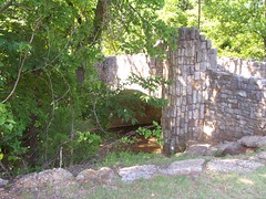
Established as Sulphur Springs Reservation on July 1, 1902; renamed and redesignated Platt National Park on June 29, 1906; combined with the Arbuckle Recreation Area and additional lands and renamed and redesignated on 17 March 1976. Of the park's 9888.8 acres (40.0 km²) water covers 2409 acres (9.75 km²). The park contains many fine examples of 1930's Civilian Conservation Corps architecture.
CCC workers created pavilions, park buildings, and enclosures for the park's many natural springs.
Wikipedia: Chickasaw National Recreation Area
Links: