
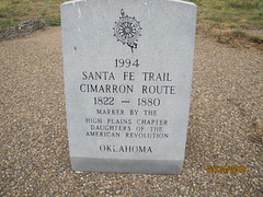
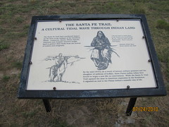
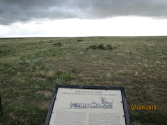
Santa Fe Trail
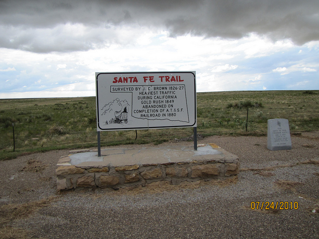
Santa Fe Trail
Surveyed by J.C. Brown 1826-27. Heaviest traffic during California Gold Rush 1849. Abandoned on completion of A.T. & S.F. Railroad in 1880
Location
Directions
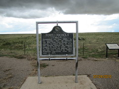
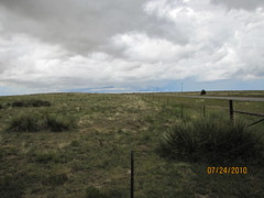
On Highway 325 between Kenton, Oklahoma and Boise City, Oklahoma
Regions
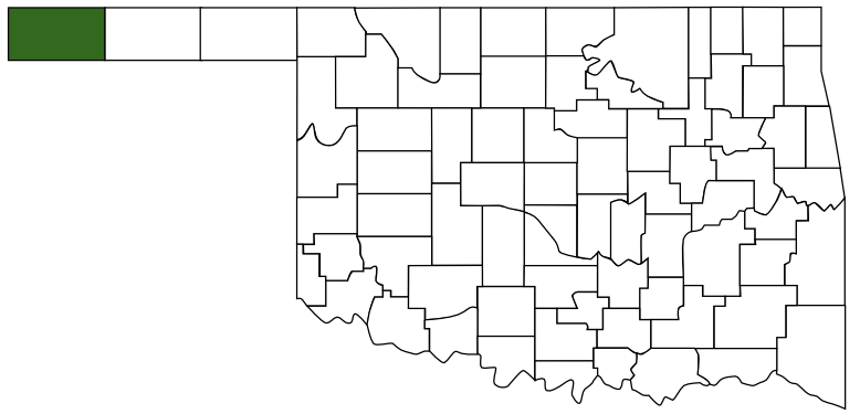 Cimarron County
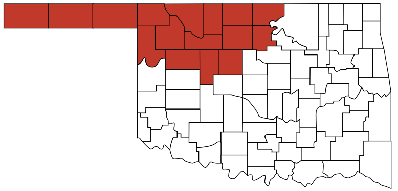 Red Carpet Country
 Oklahoma
Maps
- 36.786617, -102.805276
- OpenStreetMap
- Google Maps
- Bing Maps
- Apple Maps
- MapQuest
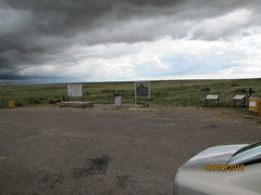
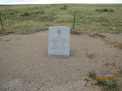
Pictures
Notes
More Pictures:
Links: Wikipedia: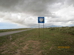
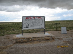

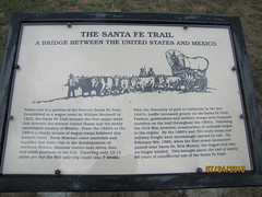
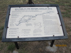
The Santa Fe Trail was a 19th century transportation route through central North America that connected Missouri with Santa Fe, New Mexico. First used in 1821 by William Becknell, it served as a vital commercial and military highway until the introduction of the railroad to Santa Fe in 1880. At first an international trade route between the United States and Mexico, it served as the 1846 U.S. invasion route of New Mexico during the Mexican–American War.
The route crossed Comancheria, the territory of the Comanches, who demanded compensation for granting rights-of-way. Americans routinely traded with the Comanche along the trail, sometimes finding the trade in Comancheria more profitable than that of Santa Fe.
After the U.S. acquisition of the Southwest, the trail helped open the region to U.S. economic development and settlement, playing a vital role in the expansion of the U.S. into the lands it had acquired. The road route is commemorated today by the National Park Service as the Santa Fe National Historic Trail. A highway route that roughly follows the trail's path through Colorado and northern New Mexico has been designated the Santa Fe Trail National Scenic Byway.
More at en.wikipedia.org/wiki/Santa_Fe_Trail