
Delaware County
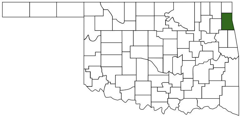
Delaware County, Oklahoma
Prior to becoming Delaware County, a large portion of the area was known as the Delaware District of the Cherokee Nation.
- Established: 1907 [1]
- County Seat: Jay, Oklahoma 74346
- Area: 741 mi2 (1,919 km2)
- Population: 40,397 [2]
- Region:
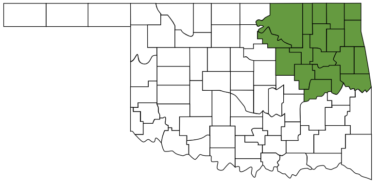 Green Country
 - Weather: NWS Tulsa
- Info: Wikipedia
- History: Oklahoma Historical Society

- County information from Wikipedia.
- Population from U.S. Census Bureau, 2020.